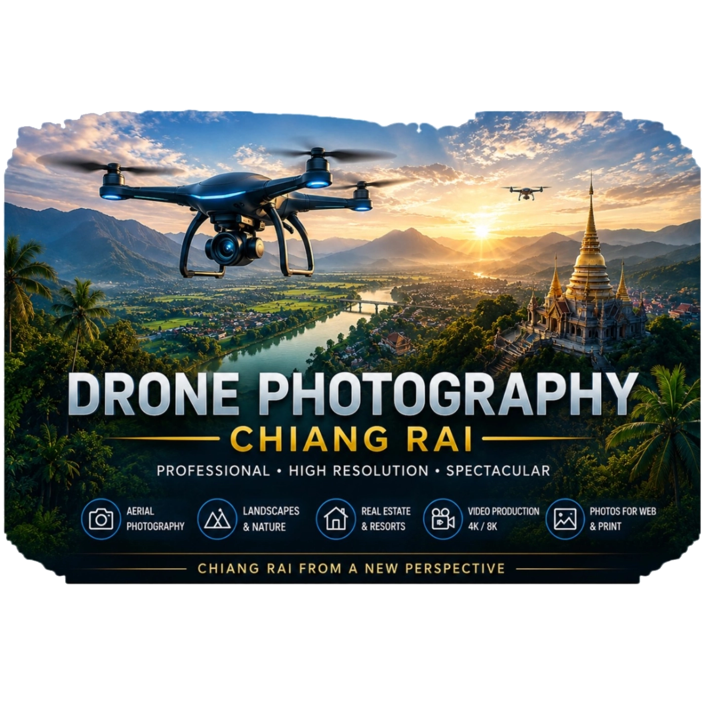
Good aerial images show much more than a standard photo taken from the ground. They make location,
size, surroundings and special features visible at a glance.
This is especially valuable for real estate, tourism businesses, large land areas,
construction projects and companies looking for a professional presentation.
Our Drone Services
Depending on your project, we provide single aerial photos, full photo series or
video clips. Scope, angles and delivery format will be agreed before every shoot.
🏡 Real Estate and Land
High quality shots for sale, rental, presentation or documentation.
The bird's eye view clearly shows buildings, access roads, boundaries and surroundings.
- 📷 Aerial photos from multiple angles
- 🎥 Short and longer video clips
- 📍 Clear overview of location and surroundings
- ✨ Content for listings and websites
🏨 Resorts, Hotels and Businesses
Present your property, buildings and surroundings from an angle
that stands out and gives guests or clients a complete impression.
- 🌴 Resorts and Hotels
- ☕ Cafés and Restaurants
- 🏢 Shops and Companies
- 📱 Content for websites and social media
🌾 Agriculture and Large Areas
Aerial shots are perfect for a clear visual overview of farms,
fields, access roads, buildings and large plots of land.
- 🚜 Agricultural land
- 🌳 Full land overview
- 📁 Visual documentation
- 📍 Showing large areas clearly
🏗 Construction and Progress
Regular shots taken from similar angles clearly show changes and
construction progress, and give you a fast overall view of the project.
- 🏗 Construction site overview
- 📅 Scheduled repeat shoots
- 📂 Digital project documentation
- 👁 Compare different project stages
📣 Marketing and Social Media
Stunning aerial views work great for websites, posts,
advertising campaigns and modern presentation of locations, offers and businesses.
- 📱 Content for social media
- 🌐 Images for websites
- 🎬 Dynamic video clips
- ✨ Modern visual presentation
⚡ Flexible Service
From your first request until delivery of finished files we keep everything clear and simple.
Short notice bookings may be possible depending on location, weather and availability.
- 💬 Easy contact process
- 🚗 On site around Chiang Rai
- ⏱ Flexible scheduling
- 💾 Files delivered digitally
Price Guide
These prices are for orientation only. Final cost depends
on travel distance, shooting time, project size, requested material and editing work.
📷 Photo Package
from 500 THB
Simple projects and selected aerial photos.
🎥 Photo & Video
from 1,000 THB
Combination of aerial photos and video clips.
🏠 Real Estate Package
from 1,500 THB
Complete presentation of property and surroundings.
📌 Custom Projects
Price on request
Large areas, repeat shoots or special requirements.
Important:
We always confirm the exact scope before starting work. Extra travel,
special editing or larger projects may change the final price.
Detailed Price Overview
This table helps you estimate costs. Final price will be confirmed before booking
based on location, work required, files requested and actual conditions.
| Service |
Typical Scope |
Price from |
| Basic Photo Package |
Selected aerial photos for one property or small project |
500 THB |
| Extended Photo Package |
Multiple angles and full visual presentation |
800 THB |
| Photo & Video |
Aerial photos combined with short video clips |
1,000 THB |
| Real Estate Package |
Building, land, access and surroundings from multiple angles |
1,500 THB |
| Resort / Business Package |
Material for website, marketing and social media |
1,500 THB |
| Large Land / Farm |
Overview shots of large areas – calculated based on work required |
on request |
| Construction Progress |
One-off or regular visual project updates |
on request |
| Custom Project |
Special requirements, longer shoots or extra travel |
on request |
Price Calculation Note:
Rescheduling due to weather, longer travel times, extended shooting,
extra editing, special file formats or regular repeat visits will be quoted separately.
You will always get a clear agreement before we start any work.
Why use professional aerial shots?
Aerial photos give orientation and attention. They show relationships
you simply cannot see clearly from ground level, and add great value to standard images.
📍 Better Overview
Buildings, roads, outdoor areas and surroundings are shown together clearly.
This helps interested parties and clients understand the layout easily.
✨ Professional Presentation
Carefully planned angles present properties, businesses and projects in high quality
and add excellent extra material to your existing photos.
📂 Clear Documentation
Perfect for keeping visual records of land, construction progress
and visible changes over a set period of time.
🎯 More Attention
Unusual angles stand out and create a strong first impression especially on websites
and social media pages.
Professional Drone Services for Private and Business Projects
A good aerial photo is much more than just an image taken from high up. What matters most are the right angles,
well chosen framing and a presentation that fits exactly what you need it for. When selling a house
the position of the building compared to access roads and surroundings is most important. For a resort we may
focus on the layout, gardens, pool and landscape. For large land plots the goal is often to show size, access
routes and visible features in a clear and easy to understand way.
🏘 Aerial Photos for Property Sales & Rentals
People looking for property want to see more than just rooms or the front wall. Aerial photos show
exactly where a building sits on the land, what is around it, how to reach it
and where other areas are placed. This creates a complete impression
for listings, brochures, websites and enquiries.
🌴 Tourism, Resorts and Special Accommodation
In Northern Thailand the surrounding landscape is often one of the main selling points. Mountains, rice fields, gardens,
roads and the location of your property look very impressive from above.
Perfect material for booking pages, marketing and social media.
📐 Presenting Large Areas Clearly
Standard photos from ground level are often not enough for very large land areas. An elevated view
shows how everything connects and gives you an instant overall picture. Depending on the project we may
shoot from several different directions so the size and layout is easy to understand.
🎬 Using Photos and Video Together
Photos work best for websites, listings and documentation. Video on the other hand
shows movement, space and atmosphere. A combination of both formats
is often the most flexible solution for many projects.
Service Area around Wiang Pa Pao, Chiang Rai and Chiang Mai
Our main base is in Wiang Pa Pao, Chiang Rai province.
From here we can fly locally and on request travel
towards Chiang Rai and Chiang Mai. For more distant locations
extra travel costs may apply based on distance and project size.
📍 Wiang Pa Pao
📍 Mae Khachan
📍 Mae Chedi
📍 Mae Chedi Mai
📍 Wiang Kalong
📍 Pa Ngio
📍 Ban Pong
📍 San Sali
📍 Mae Suai
📍 Phan
📍 Chiang Rai
📍 Phrao
📍 Doi Saket
📍 Chiang Mai
📍 Further Northern Thailand on request
📍 Direct Surroundings
Projects in the district of Wiang Pa Pao and nearby areas
like Mae Khachan, Mae Chedi, Mae Chedi Mai, Wiang Kalong, Pa Ngio,
Ban Pong and San Sali are easiest to arrange.
Local property, land, resorts, farms and businesses benefit most.
🏙 Towards Chiang Rai
We can also travel towards Mae Suai, Phan and Chiang Rai upon request.
This covers property, tourism businesses, larger land plots and
commercial projects along this route.
⛰ Towards Chiang Mai
Projects towards Phrao, Doi Saket and Chiang Mai can be arranged individually.
Especially resorts, holiday homes, land plots and
tourism offers look very impressive with aerial photos and videos.
🚗 Other Locations
If your project is outside the areas listed above, please ask anyway.
Depending on distance, project size, weather and schedule we may still be able to help
in other parts of Northern Thailand.
How it works
1️⃣ Describe your project
Tell us location, what you need shot, intended use and if possible
some basic information about the property or land.
2️⃣ Agree scope and date
We explain estimated work required, requested angles,
possible dates and price guidance.
3️⃣ Shoot on location
Flying takes place only when weather, local conditions,
safety and legal requirements allow it.
4️⃣ Digital Delivery
After selection and agreed editing all finished photos
and videos are sent to you digitally.
Frequently Asked Questions
Answers to common questions about booking, weather, locations,
file formats, property shoots and custom requests.
How fast can I book drone shots?
Depends on location, weather, project size and availability. For simple projects
around Wiang Pa Pao and Chiang Rai, short notice bookings may be possible upon request.
Where do you offer aerial photography?
Main focus is Wiang Pa Pao, Chiang Rai and immediate surroundings.
Further locations in Northern Thailand can be arranged individually.
Can any property be photographed with a drone?
Not automatically. Before every flight we check local conditions, safety, privacy,
flight restrictions and necessary permits.
What happens if it rains or it is windy?
Safety and image quality come first. Rain, strong wind, poor visibility or other
unsuitable conditions may require rescheduling your booking.
Are drone photos suitable for real estate listings?
Yes. Aerial photos show location, land size, access roads, outdoor areas and surroundings much clearer
than ground photos and work perfectly for listings, brochures and websites.
Can you shoot large land areas or farms?
Yes, provided all local and safety requirements are met.
Aerial views are the best way to get a full picture of very large areas.
Do you also shoot videos?
Yes. Depending on your request we can arrange photos only, video clips or a combination of both formats.
The exact scope will be confirmed before we start.
Can I use these for Facebook, Instagram or my website?
Yes – just mention what you will use the material for when enquiring.
This helps us plan shots suitable for websites, social media or other uses.
How do I get the finished photos and videos?
Agreed files are sent to you digitally. Quantity, selection and any editing work
follow the package or custom arrangement confirmed.
How are prices calculated?
Price depends on travel distance, project size, shooting time, requested angles,
photos or video, editing work and special requirements. Prices listed are guidelines only.
What information should I provide when asking for a quote?
Exact or approximate location, type of property or land,
intended use, whether you need photos or video, and preferred dates.
Can you do regular progress shots for construction projects?
Yes, we can schedule repeat visits to document changes
and progress from consistent angles.